Rendezvous of the Magpie Orroroo Town Walk
Category 1 (Easy) approx. 2.5km
This walk highlights ten significant historic locations within Orroroo, using icons on a trail map. Each location has a Geocache located in it’s midst – if you are logged in to the Geocache app you will be privy to the historic stories or you can view comments on our facebook page ‘Orroroo Geocaching’. Trail maps are available from the Visitor Information Centre.
Pekina Creek Trail
Category 2 (Easy to Moderate) 2.9km
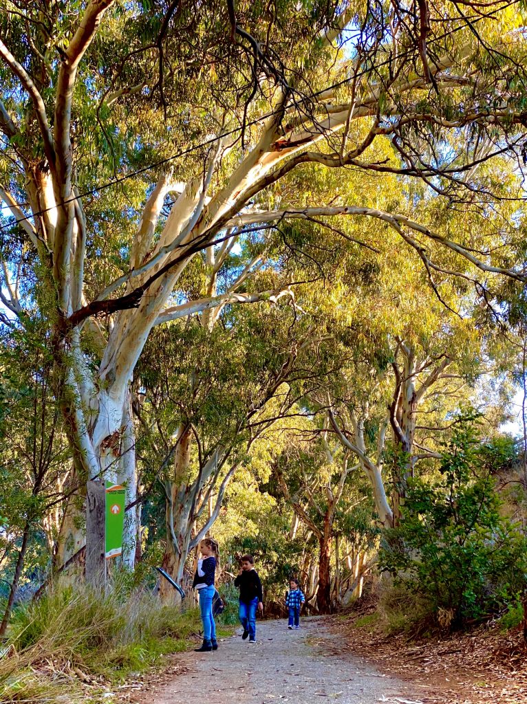
The trail loops from the Lions Park picnic grounds (mostly in the shade on the Western side), along the creek with large river red gum trees, bulrushes and sedges.
The history of the area is evident with the old water pipes from the original Orroroo water supply as well as ancient Aboriginal carvings. You can choose to walk to the reservoir and then return on the Eastern side. The rock poem is on this side of the trail (which can also be accessed from Tank Hill turnoff). Access to the rock poem is a little tricky due to the location of it being within a ‘dry’ creek, if the steps are too challenging we advise walking the alternate track to the right, around the top of the creek. This track will also bring you back onto the loop track to return to the Lions Park. Electric barbecues, picnic settings, nature playground and toilet amenities are located at the Lions Park.